Primary Objectives
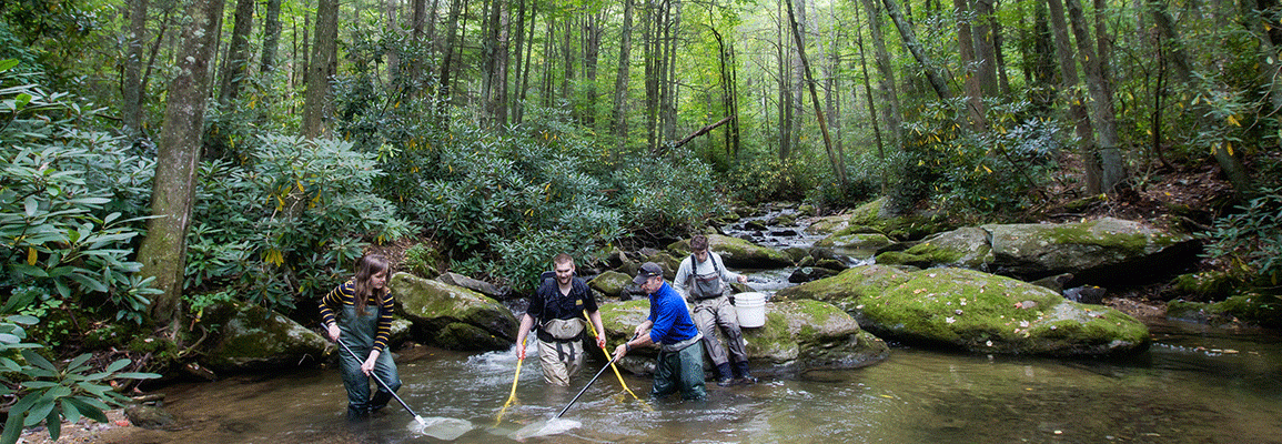
The Appalachian Aquatic Science Research Team (AppAqua) takes a multidisciplinary approach to better understand the complex human-environmental interactions affecting water resources in the Southern Appalachian headwaters. The cluster has developed a long-term water quality (e.g., temp, pH, specific conductivity) monitoring program, and a high spatial resolution geospatial database (e.g., Geiger LiDAR data and 6" resolution aerial photography) for the Upper South Fork of the New River (USFNR) watershed. AppAqua studies the long-term spatial relationships between land cover change, water quality, and stream ecology in the USFNR watershed that integrates methods and data from physical (hydro-geomorphic), biologic, GIScience and social sciences.
The location of the USFNR watershed is the headwaters of the South Fork of the New River in Watauga County in the northern mountains of western North Carolina. The USFNR watershed includes the towns of Boone and Blowing Rock. The elevation ranges from 942 meters to 1427 meters in the 80 square kilometer watershed. The watershed is unique as it represents a dynamic headwater catchment with pristine portions (e.g., supporting native brook trout populations), one stream listed as impaired, and an expanding urban environment. Formerly forested areas have seen a marked conversion to impervious surfaces due to development. These land cover alterations potentially represent a significant threat to the water quality of the headwaters of the USFNR which is a designated a National Heritage and Nat'l Wild and Scenic River.
This video features music by Dr. Nicholas Kline (Lecturer of Music Theory and Composition in the Hayes School of Music) for the performance Watersheds
Capabilities
- Water quality/quantity monitoring
- Land cover assessment
- Nutrient loading
- Population sampling
- Benthic macroinvertebrate sampling
- GIScience (e.g., GIS, remote sensing)
- LiDAR and structure from motion (SfM)
- Restoration assessment
- Riparian zone mapping
- Watershed modeling
Sample Work Products
- Use of High-Throughput Screening Results to Prioritize Chemicals for Potential Adverse Biological Effects Within a West Virginia Watershed
- GIS for Watershed Characterization and Modeling
- Chemistry of waters collected in the Wolf Creek and Buffalo Creek watersheds in West Virginia in 2016: U.S. Geological Survey data release
- To Restore or Not to Restore: Assessing Pre-project Conditions of a Habitat Restoration Project on the New River, North Carolina
- Air-stream Temperature Correlation in Forested and Urban Headwater Streams in the Southern Appalachians
- Flood Modeling Using a Synthesis of Multi-Platform LiDAR Data
Faculty Members
- Jeff Colby, Department of Geography and Planning
- Shea Tuberty, Department of Biology
- Derek Martin, Department of Geography and Planning
Students
Over 30 graduate students have contributed, including three Appalachian State Outstanding Thesis Award recipients.
